

Pottawattamie County Recognizes GIS Day
Posted November 18, 2025
Posted by GIS and Board of Supervisors
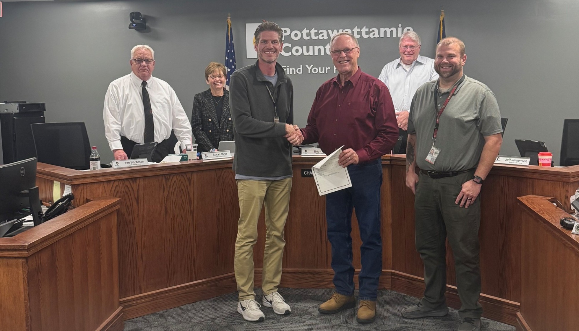
Pottawattamie County joined communities around the world in celebrating Geographic Information Systems (GIS) Day on November 19, 2025. The day recognizes the vital role that geospatial technology plays in strengthening public services, supporting economic growth, protecting natural resources, and improving quality of life for residents.
GIS technology empowers county departments to visualize and analyze complex spatial data, helping staff make more informed decisions. From infrastructure planning and environmental conservation to public safety and human services, GIS provides a clearer understanding of the relationships and patterns that shape our community.
“GIS allows us to model and understand our rapidly changing world,” the Board of Supervisors noted in its proclamation. “By using geospatial tools, we are better equipped to respond intelligently and responsibly to the needs of Pottawattamie County.”
The Board emphasizes the importance of promoting GIS awareness, education, and hands-on training, particularly as the technology evolves. Encouraging students, residents, and government leaders to participate in GIS-related activities supports STEM learning and fosters innovation across the county.
GIS Day also highlights the contributions of the professionals and volunteers who use geospatial tools in their daily work. This includes county staff as well as nonprofit partners engaged in conservation, human services, and other efforts that make a meaningful difference in the community.
Pottawattamie County remains committed to using GIS as a platform for transparency and public accessibility. By making geographic information open and easily available, the county aims to encourage collaboration, support informed decision-making, and inspire new applications of technology for the public good.
The Board of Supervisors is proud to recognize GIS Day on November 19, 2025, and encourages all residents to learn more about the integral role of geographic information systems in shaping the future of our county.