

More Than Maps: Pottawattamie County Recognizes GIS Day
Posted November 18, 2026
Posted by GIS and Public Relations
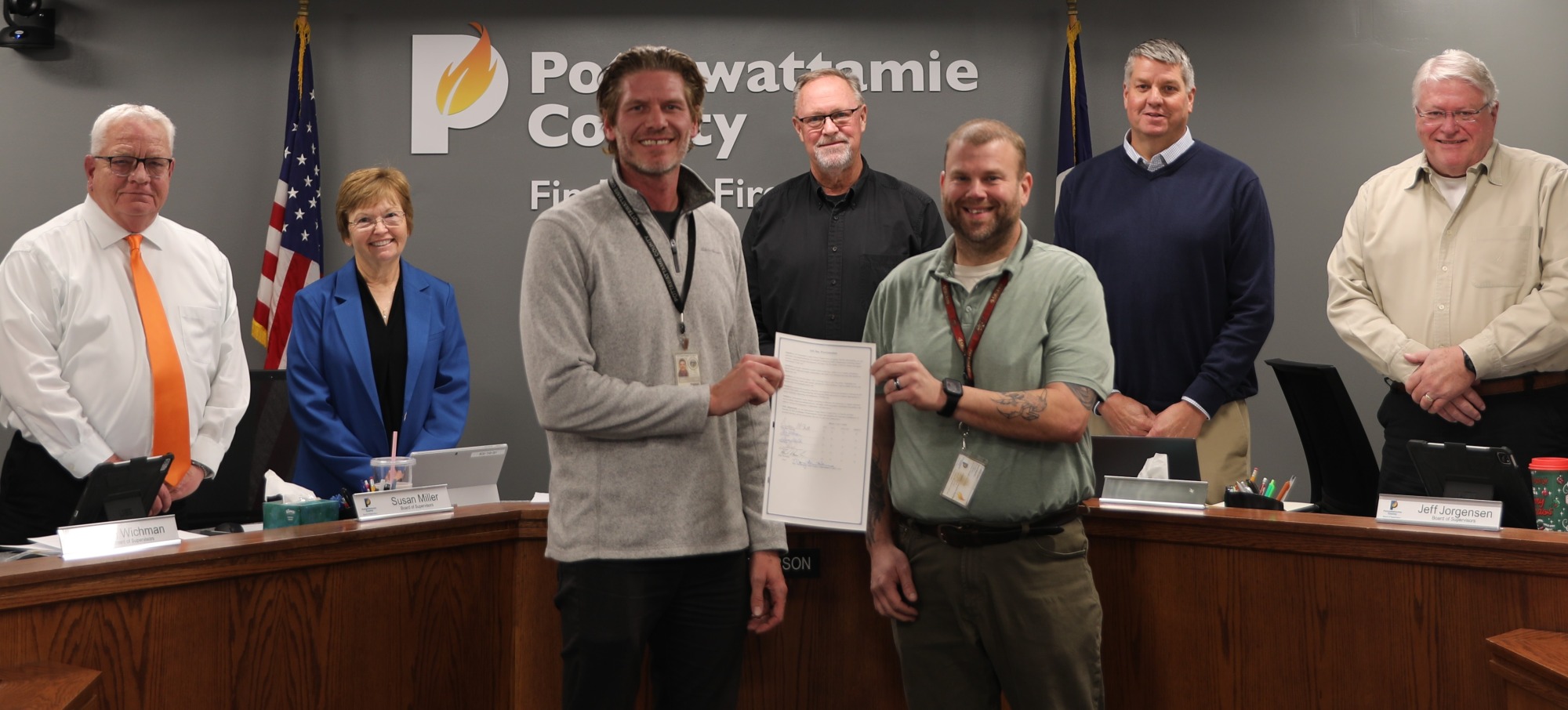
The Pottawattamie County Board of Supervisors proclaimed November 18, 2026, as GIS Day, recognizing the important role geographic information systems (GIS) technology and the professionals who use it play in serving residents, supporting county operations and strengthening communities.
GIS technology helps visualize information, identify patterns and support informed decision-making. While many residents may be familiar with GIS through online property maps and geographic data, the department's work extends far beyond traditional mapping.
During the Board's November 17 meeting, supervisors and county officials shared examples of the GIS Department's contributions to projects and services throughout Pottawattamie County.
One supervisor described requesting information about a specific property parcel and receiving not only the requested map, but also surrounding property details, ownership information and additional data that anticipated what might be needed next.
Other examples included developing mapping tools to help track county-owned assets for insurance purposes, creating an internal program for an employee wellness walking challenge and supporting employee recognition initiatives.
The department also plays an essential role in emergency preparedness and disaster response. During severe weather and flooding events, GIS helps emergency management personnel identify potentially affected properties, assess risks and develop tools to coordinate assistance for residents.
Pottawattamie County Emergency Management Director Doug Reed highlighted the department's response during the 2024 flooding, when GIS staff developed tools to help identify community needs and coordinate resources. Those tools were also shared with partners responding to catastrophic flooding in northwest Iowa.
"They are an essential part of the emergency response community and our preparedness effort," Reed said.
The department's work also extends beyond county government, providing mapping and technical assistance to local municipalities, soil and water conservation districts and other community partners.
GIS Coordinator Jamie Petersen thanked the Board for its continued support and emphasized the department's commitment to collaboration.
"We are always looking forward to working with different partners, whether that's in the community, citizens, our small towns in the county, and departments here in the county itself," Petersen said.
Petersen also recognized GIS Analyst III Christopher Nelson for his contributions to the department, describing him as an outstanding team player.
The 2026 GIS Day theme, "GIS: Powering Purpose and Innovation," highlights how geospatial technology connects data, people and places to solve problems, improve public services and turn ideas into meaningful action.
As one county official summarized during the meeting, "It's more than just maps."
The Board unanimously approved the proclamation, recognizing the contributions of GIS professionals and the value of geospatial technology in serving Pottawattamie County residents.